I made a Sci-Fi Nether Portal space ships could use to bypass needing to go faster than light to go between solar systemsOctober 5, 2024
I just typed “cutes fartly” into the seed field because I thought it was funny, and I found an igloo at spawn that leads to a ruined portal??? [Java] [24w40a, Winter Drop]October 5, 2024
Slayer251 on July 7, 2024 6:13 am From left to right: the county Holland, the duke of Burgundy and that of the Holy Roman Empire, all in the year 1450. I must confess I did not manually create the maps, but instead used this tool to generate the files from images: [https://mc-map.djfun.de/#](https://mc-map.djfun.de/#) In this link, you can find the original images from Wikipedia and the large versions that I made myself in paint. You can generate the map files yourself if you want, I don’t know how to link them. [https://imgur.com/a/OaKIXgR](https://imgur.com/a/OaKIXgR)

1 Comment
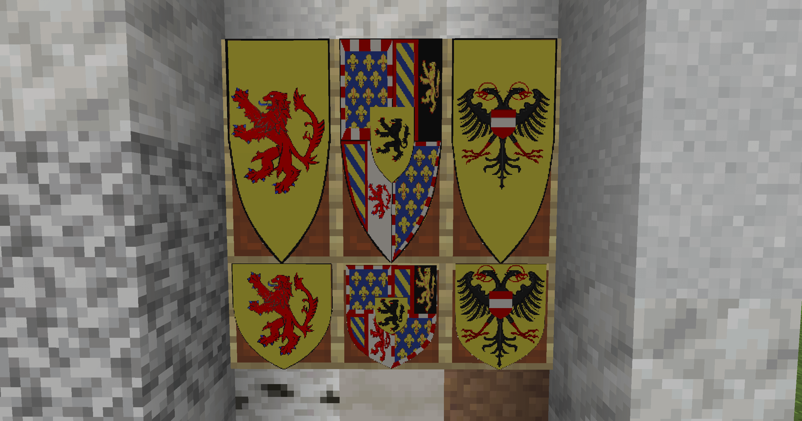
From left to right: the county Holland, the duke of Burgundy and that of the Holy Roman Empire, all in the year 1450.
I must confess I did not manually create the maps, but instead used this tool to generate the files from images:
[https://mc-map.djfun.de/#](https://mc-map.djfun.de/#)
In this link, you can find the original images from Wikipedia and the large versions that I made myself in paint. You can generate the map files yourself if you want, I don’t know how to link them.
[https://imgur.com/a/OaKIXgR](https://imgur.com/a/OaKIXgR)